
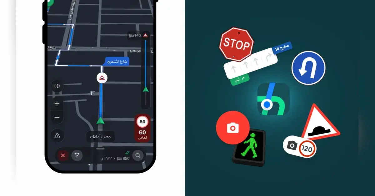
Hudhud Maps has launched as a free national navigation platform in Saudi Arabia on Android and iOS devices. The application provides localized geographic data, door-to-door entrance guidance, and business fleet solutions designed specifically for regional transit needs, according to a report by Asharq Al-Awsat.
Building Navigation Around Hudhud Maps and Data Sovereignty
The platform hosts its entire codebase and spatial data locally within Saudi Arabia. As a result, government entities and private enterprises can manage location data in line with national data governance standards. Rayan Al-Sulaimi, software engineer, and Khaled Lafi Al-Muraikhi, chief technology officer at the company, stated that digital mapping and navigation are foundational to smart city growth and technical independence.
To support advanced routing, the engineering team applies AI, machine learning, computer vision, and LiDAR laser scanning. Furthermore, these systems process high-resolution satellite imagery and user reports. The company also collaborates with global technology firms, including Amazon and META, while contributing to open-source developer communities.
High-Resolution Field Scanning and Doorstep Routing
Field survey teams mapped thousands of kilometers of highway and city roads, capturing millions of 72-megapixel panoramic images across Riyadh and other metropolitan hubs. Specifically, automated image analysis shortened traditional mapping times by 15 times, maintaining an average distance of five meters between photo points.
Consequently, the platform provides precise door-to-door guidance. Instead of directing drivers to general premises, the application identifies exact building entrances alongside panoramic previews of destination structures to eliminate navigation confusion in residential and commercial districts.
Smart Driver Safety and Vehicle Integration
For motorists, the service offers real-time road speed limit notifications, speed camera alerts, and detailed lane guidance for multi-level interchanges. In addition, drivers can connect the mobile app to in-car screens through Android Auto and Apple CarPlay systems to control navigation while on the road.
The platform also incorporates crowd management tools for major festivals and public events to reduce traffic congestion. Users can contribute road updates through a community feature to report road hazards, speed bumps, and missing locations across the Kingdom.
Enterprise Software Development Kits and APIs
Beyond consumer navigation, the developer suite provides APIs and SDKs for enterprise logistics. Specifically, the Route Optimization API handles up to 25 stops for vehicle fleet management. Meanwhile, the Distance Matrix API computes travel durations across matrices of up to 100 by 100 points, alongside vector tiles and satellite mapping layers for custom applications.